Hydrometeo data collected at stations along the Belgian coast and off-shore along the Flemish Banks.
- Partners: Vlaamse Hydrografie (MOW), Flanders Marine Institute (VLIZ)
- Period: since September 2001
- Geographical coverage: Belgian Exclusive Economic Zone
- Taxonomic coverage: Abiotic data only
- Moratorium: Without valid credentials you are only allowed to view the “Tide TAW” parameter for the last 30 days, grouped by day/hour. Login or register to get full access.
- Data quality: Research-grade
How to interpret this dataset
Query options
- Parameters: List available parameters for Meetnet Vlaamse Banken (MVB).
- Timeframe: Starting and stopping date for the query.
- Stations: Name or code of sampling station or receiver code.
- Calculate: Calculation to perform given time grouping, one of (‘avg’, ‘max’, ‘min’, ‘none’).
- by: Time grouping for calculation, one of (‘day’,‘hour’, ‘10min’ ,‘none’).
Available columns
- Time: Time in UTC, beginning of sample timeperiod.
- Station: Name or code of sampling station or receiver code.
- Longitude: Center longitude in decimal degrees, WGS84.
- Latitude: Center latitude in decimal degrees, WGS84.
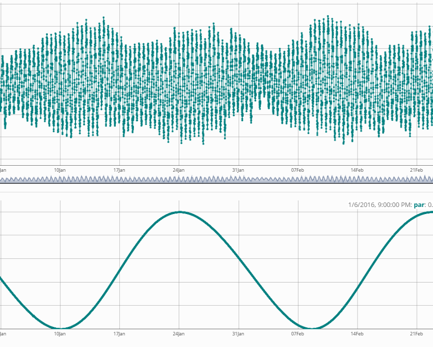
- Tide TAW: Waterlevel in m, level TAW 1 measured in Ostend at the time
Click to see the columns available after log in
- 1% wave height
- 10 % wave height
- 10% highest waves
- Air pressure
- Air temperature
- Average current direction
- Average current velocity
- Average wave period
- Average wind direction
- Average wind speed (at sensor height)
- Average wind speed at 10 m
- Average Windspeed
- Ground temperature
- Height waves with period > 10 s
- High frequent wave direction
- Low frequent wave direction
- Max 1 sec gust of wind at 10 m
- Max 3 sec gust of wind (at sensor height).
- Max 3 sec wind speed at 10 m
- Max 3 sec Windgust
- Max. windspeed at 10m
- Precipitation
- Relative humidity
- Sea water temperature
- Significant wave height
- Significant wave height - bouys
- Solar radiation
- Wave height
- Wet bulb Temperature
Abstract
The Monitoring Network Flemish Banks (Meetnet Vlaamse Banken) was set up for the acquisition of real-time oceanographic and meteorological data along the Belgian coast and on the Belgian continental shelf.The network serves a number of purposes: to support safe and efficient shipping, inform studies or the execution of infrastructure works along the coast, to inform the provision of weather forecasting services available from www.kustweerbericht.be and to warn coastal communities, managers and stakeholders of increased risks of flooding. Besides the data are available to the scientific community and the general public. It is a sensor network measuring waves, tidal height, current and water temperature; meteorological parameters are wind, air pressure, air temperature and rainfall. Data can be accessed, visualised and downloaded from www.meetnetvlaamsebanken.be. Data can also accessed through webservices: https://api.meetnetvlaamsebanken.be/. All other data requests should be addressed to kust@vlaanderen.be.
You can find more information at: https://www.vliz.be/en/imis?module=dataset&dasid=59
How to cite these data
Please acknowledge as: This work makes use of the LifeWatch observation data and infrastructure (provided by MOW and VLIZ) funded by Research Foundation - Flanders (FWO) as part of the Belgian contribution to LifeWatch.
These data are also available in the R language with the lwdataxplorer package.
1 TAW (from Dutch: Tweede Algemeene Waterpassing) is a term used only in Belgium; it is a horizontal water level reference level. Source: proz.com